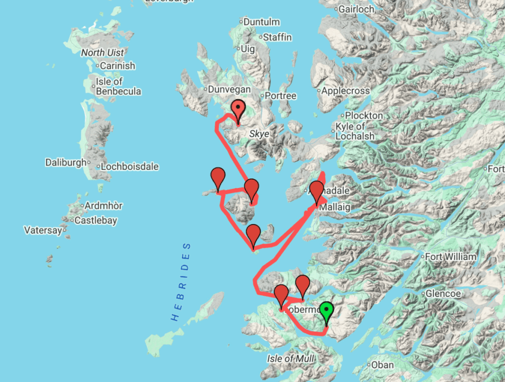
This is a “clickable” map showing this leg of our sailing. If you click on this map, you can zoom in and out and see different perspectives of this region. You can also shift to the Google Earth view :
- Windows: Click on the 3 dots at the top of the sidebar
- Android: Click on the Legend box on the top left and then the 3 dots at the top
- iOS: Pay for a séance with Steve Jobs and he’ll tell you if he thinks you should be allowed to do this.
A couple of points to explain some odd tracks in our route: You’ll see we went north of Mallaig towards the east coast of Skye and then went back to Mallaig. (1) When we first arrived at Mallaig we were told there wasn’t room for us, despite having a reservation. The Harbor Master said he would talk to someone who said they were leaving and see if he could hurry them along. Meanwhile, we looked for for an anchorage that would have some shelter from strong S/SW winds (no nearby marinas) and found two on the east coast of Skye…. so we headed in that direction. Then the Harbor Master called and said he had a spot for us. We turned around and headed back. It was rainy and quite windy, but we made it back and we were really pleased to be in Mallaig for the rough weather. (2) When we left Mallaig there are a couple of funny blips in our track. We were trying to sail, rather than motor, but the wind was very light. We sailed for a bit, and then finally gave up and motored until the wind increased. (3) At Mallaig, if you zoom way, way in, you’ll see we drove in circles in the harbor. A ferry came in just as we were about to depart, so we motored in circles away from the ferry dock and waited for it to dock.
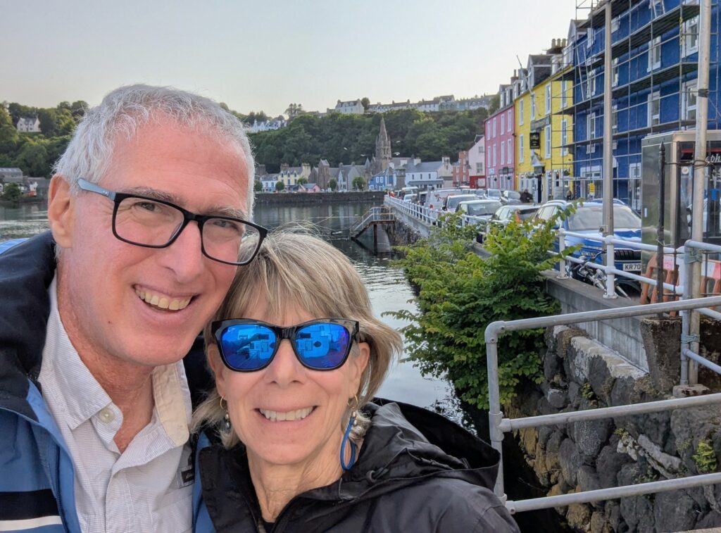
Tobermory
Tobermory, Isle of Mull, is at the north end of the Sound of Mull, and is a touristed fishing village known for its colorful buildings that line the waterfront. Its population is about 1000.
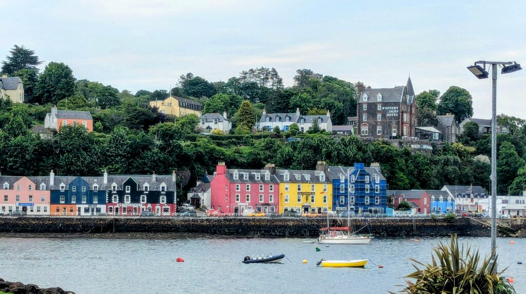
Tobermory is one of the most picturesque waterfronts in Scotland!
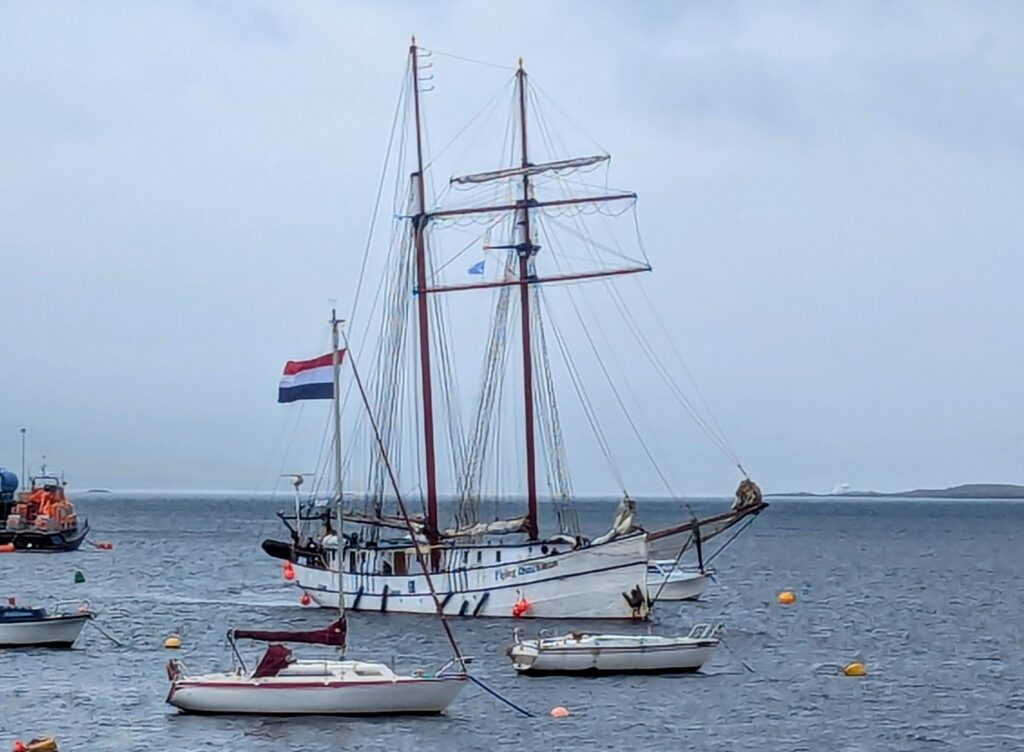
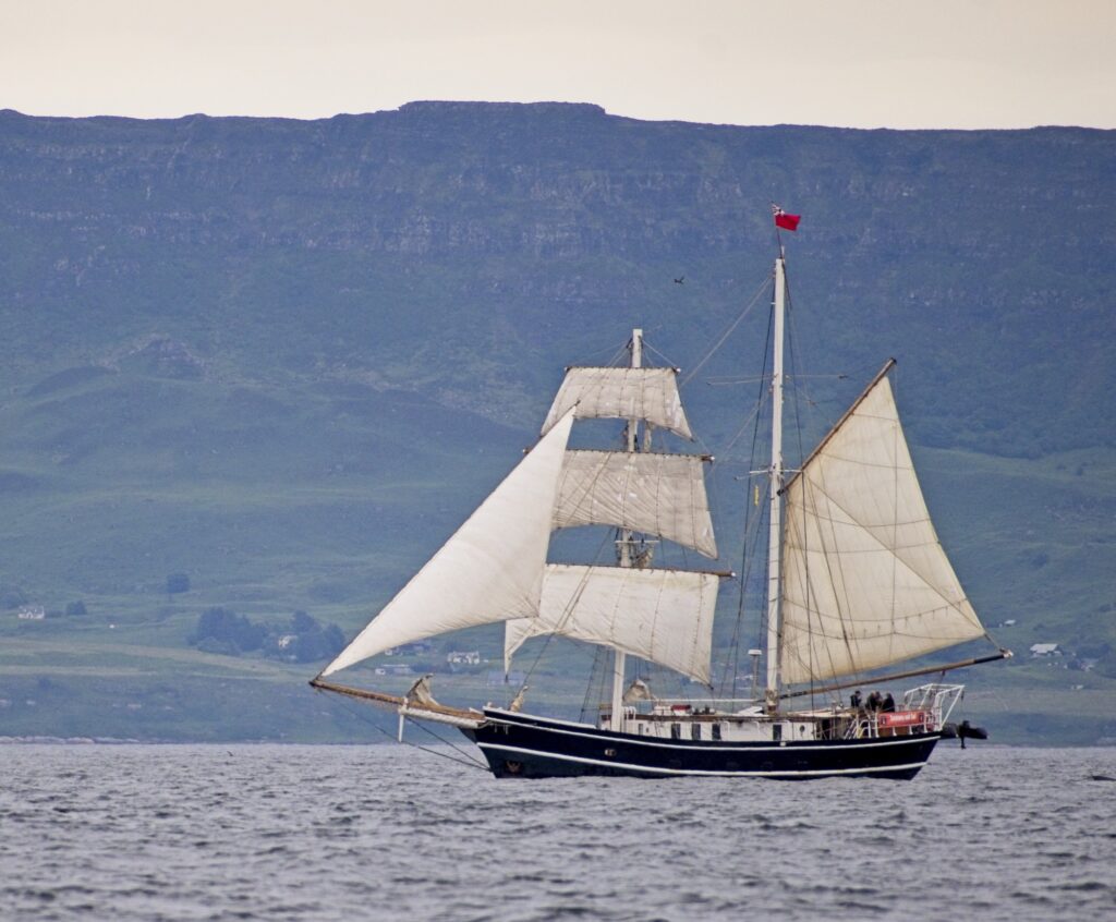
All sorts of vessels visit Tobermory, from traditional schooners and square-riggers, to cruise ships, small sailboats, and very large sailboats.

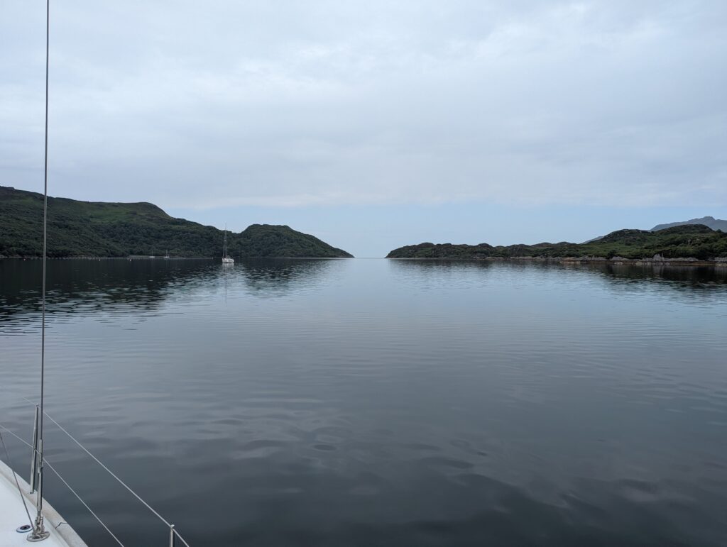
Loch na Droma Buidhe
After a few days in Tobermory, we anchored just a few miles away in a round loch that only had a narrow opening. It was like sailing into a lake.
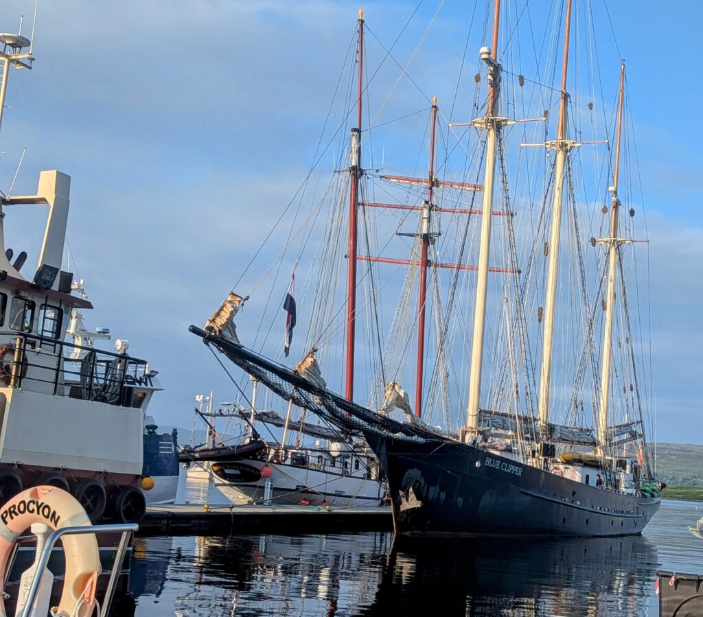
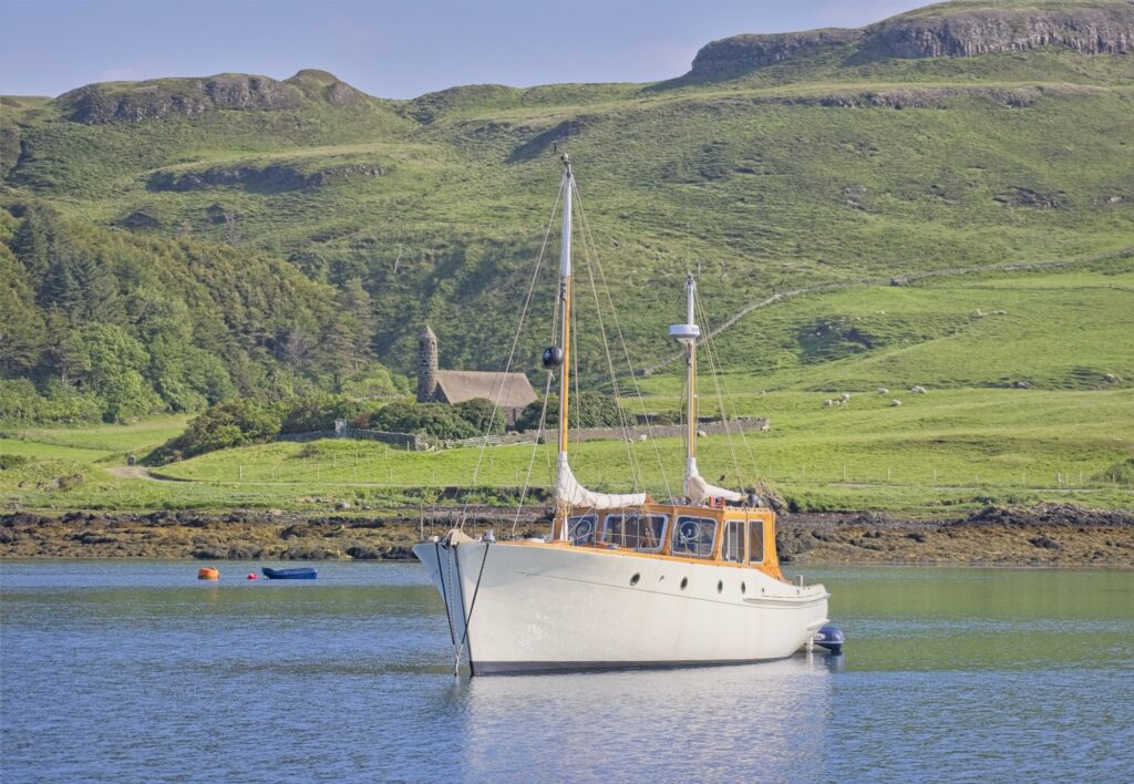
Mallaig
We stopped at this marina in a busy fishing town to do a little grocery shopping and to refill our water tanks before heading out to the “Small Isles” of Muck, Canna, and Rum; and then Skye, where we would be on anchor or a mooring ball. In addition to being a very active fishing harbor, Mallaig is one of the major ferry terminals for the Small Isles and Skye. We were delighted to find an outstanding bakery at the marina with croissants, other pastries, breads, several types of focaccia, and good coffee.
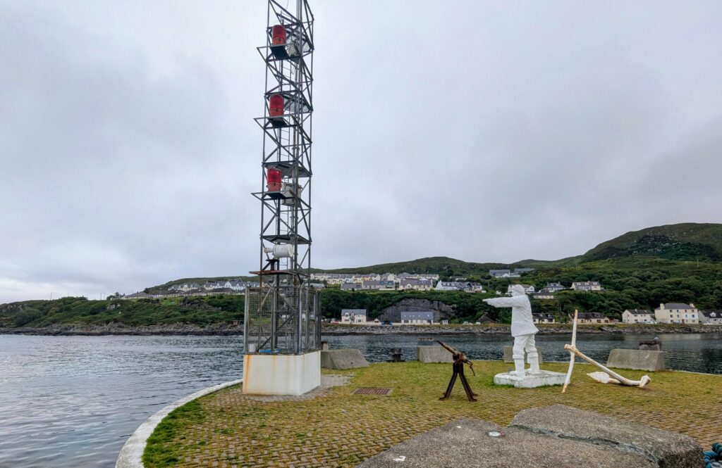
Mallaig waterfront.
Isle of Muck
We had some heavily overcast days leading up to our visit to The Small Isles of Muck, Canna, and Rum (we skipped Eigg because of exposed harbors), so we really didn’t know what to expect. We anchored in a lovely little loch on the north of side of Muck and we found it to be a very lush farming area with views of the dramatic hills and mountains of Eigg, Rum, and Skye.
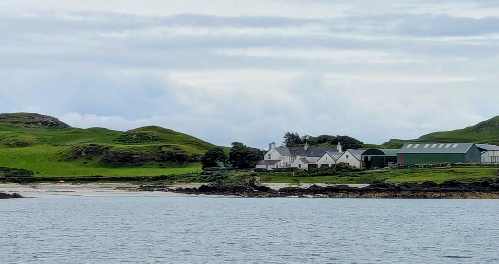
Loch Gallanach Bay on the north side of the Isle of Muck.
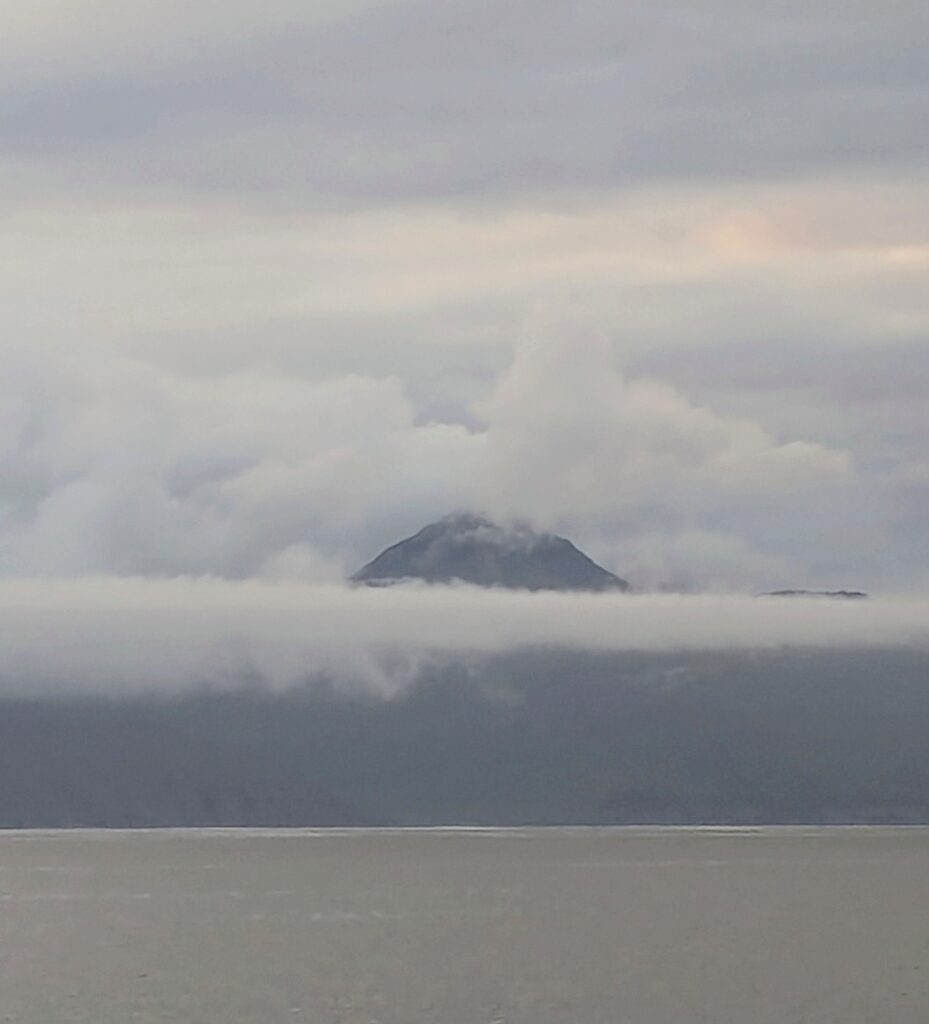
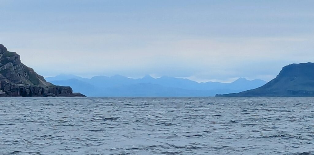
The heavy cloud cover began to clear in the morning and we were totally surprised by this high mountain view of Rum from Loch Gallanach Bay….
… and equally surprised by the dramatic view of Eigg.
Isle of Canna
Our favorite isle in the Small Isles was Canna: It had a great vibe! They welcomed sailors with well-maintained and well-placed mooring balls, community facilities, and a very good little restaurant.
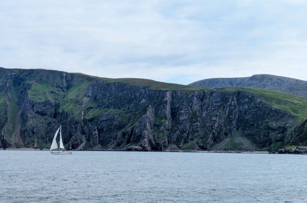
On our way from the Isle of Muck to the Isle of Canna.
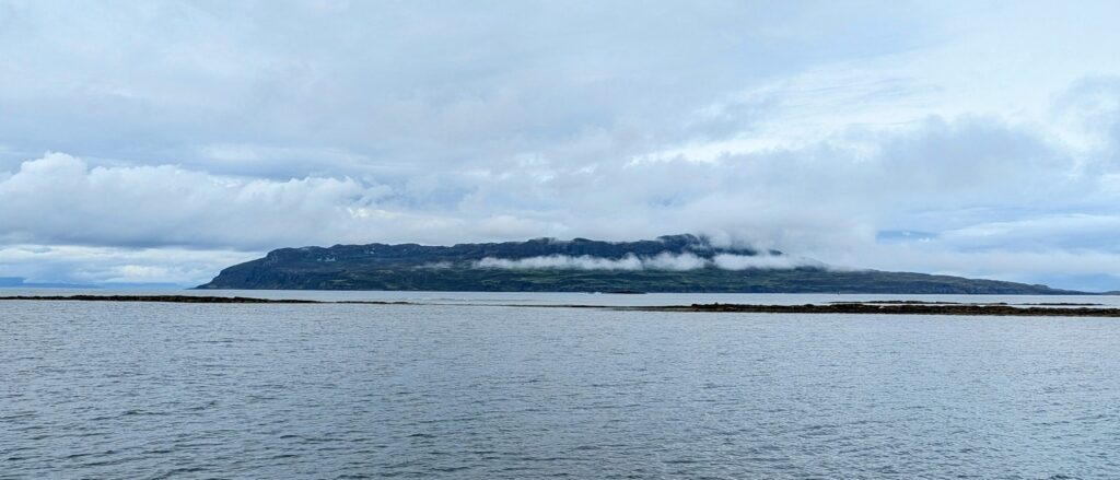
Isle of Rum
Although views of Rum are breathtaking from the other Small Isles, once inside the harbour (Loch Scresort) at Rum, there wasn’t much to see. Unfortunately, there was a very rolly swell when we were there.
We had gorgeous weather while in the Small Isles. MJ’s definition of “gorgeous weather” is any day when we have wind for sailing and she is not wearing foul weather gear, a fleece, or a wool sweater.

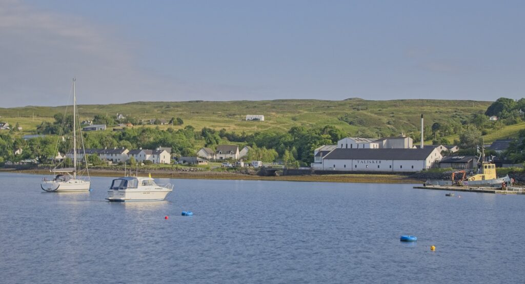
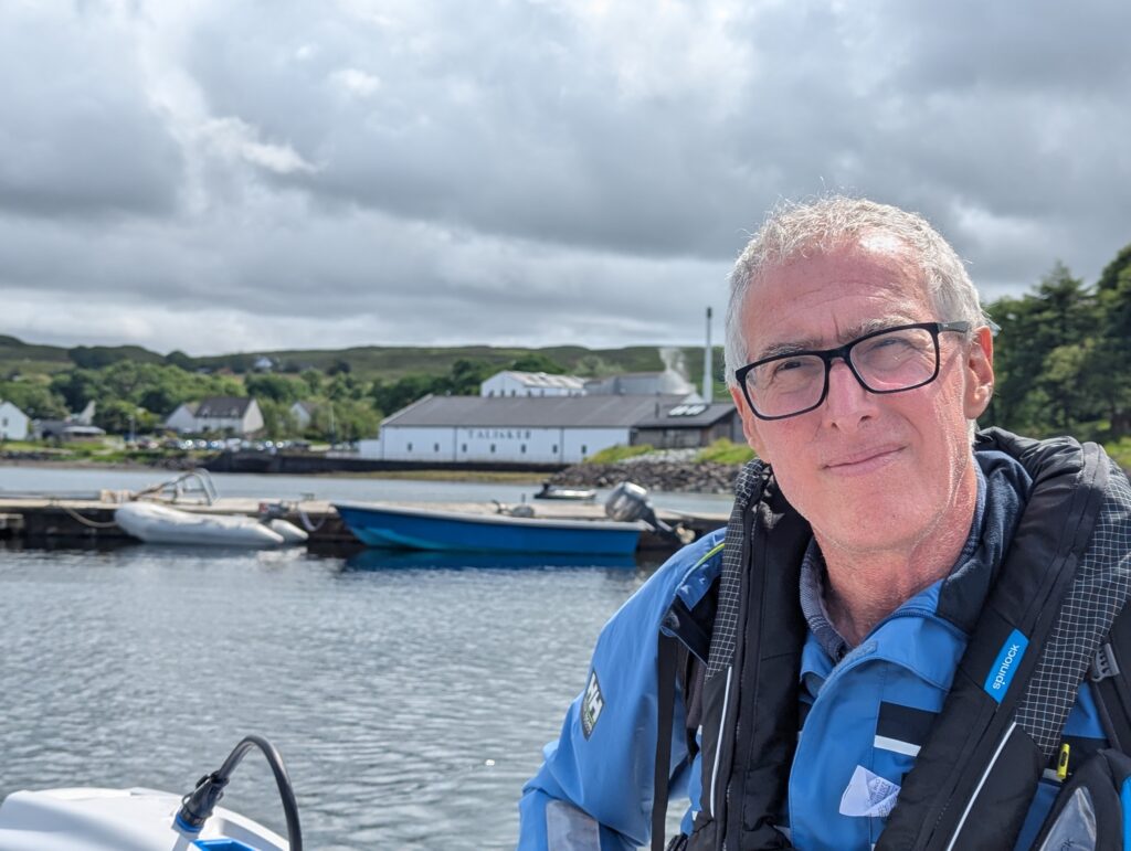
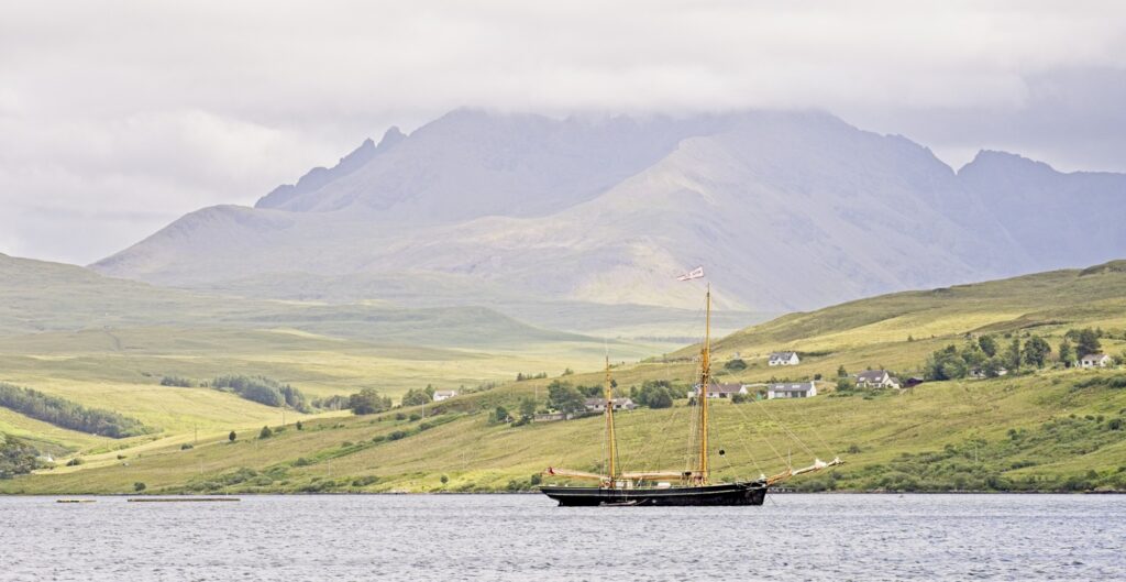
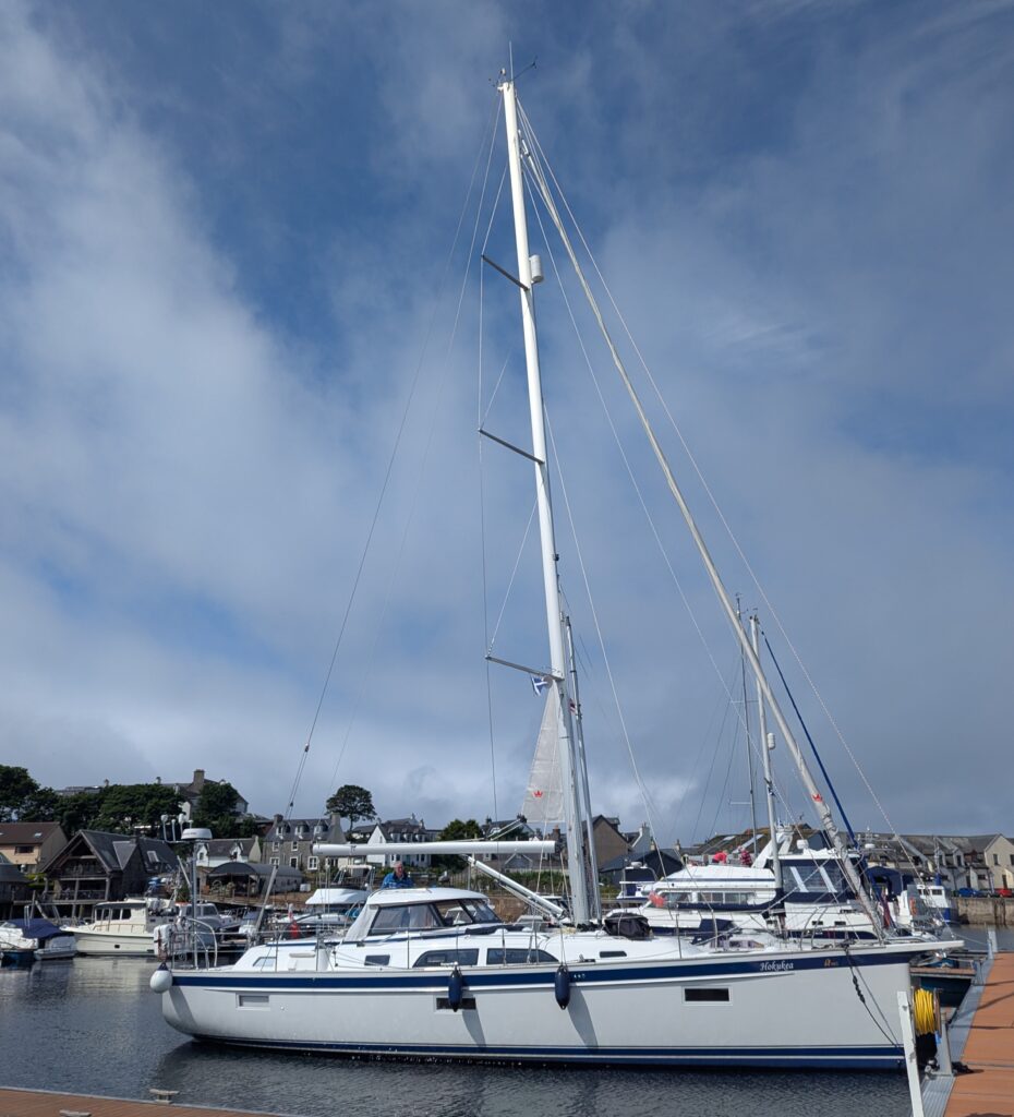
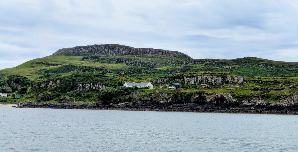
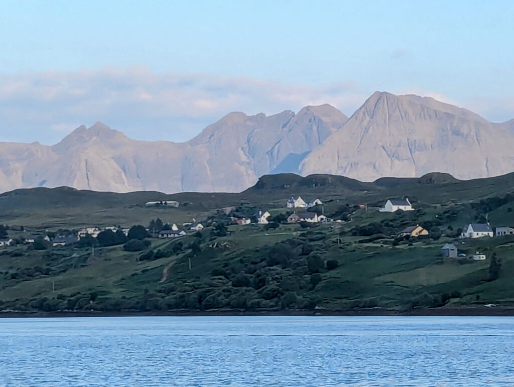
Isle of Skye – Loch Harport, Carbost/Talisker
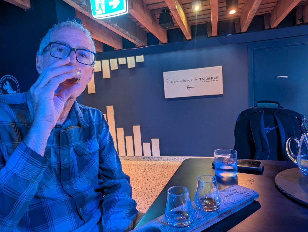
Having looked at awe at the mountains of Skye for a week, we were quite excited to sail there. We went to Loch Harport, a loch that goes south/southeast into the island for 3 miles to the village of Carbost. This geography provides good protection from some strong winds from the south and southwest in the forecast. Oh… the famed Talisker Distillery just happens to be in Carbost.
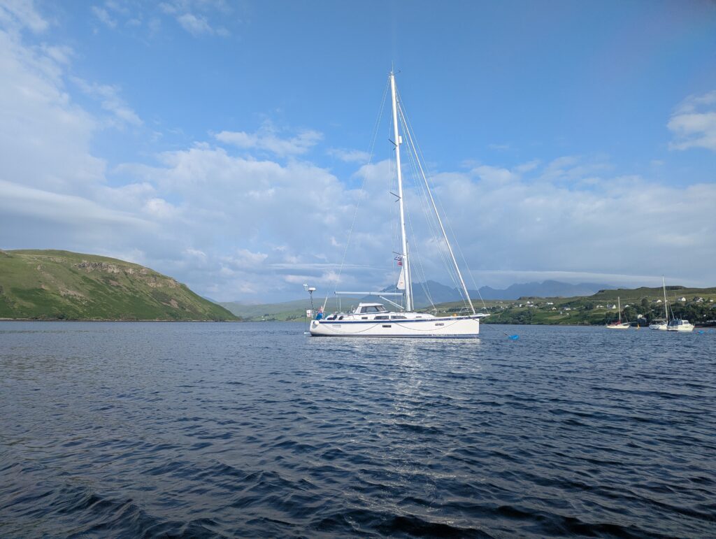
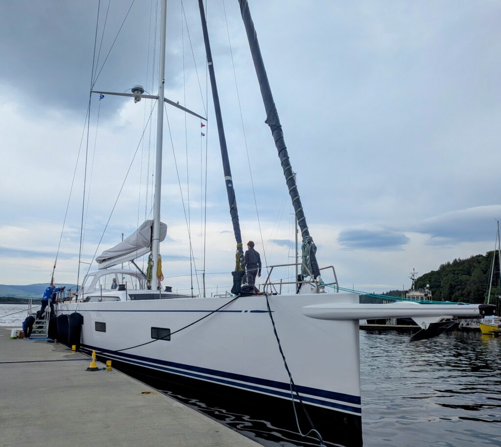
Hokukea at her mooring; the view towards the head of Loch Harport (Carbost).
Talisker!